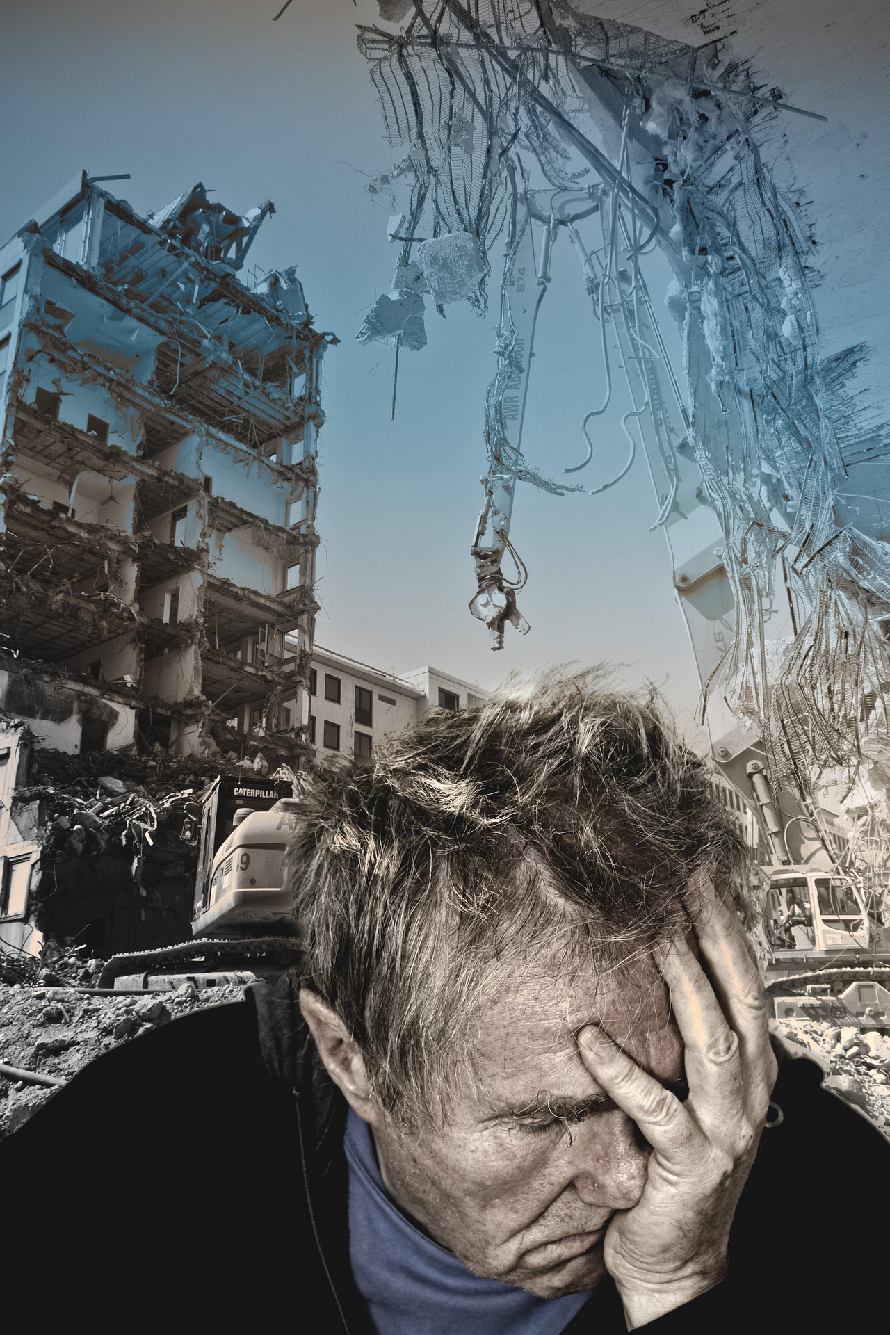
Image Credit: Earthquake by Jills from Pixabay.
How disasters reveal the invisible spatial systems behind collective response
There are concepts we learn at university that quietly stay with us for decades. We may not revisit them often, yet they become part of how we interpret the world.
Then there are experiences no curriculum can prepare us for.
On June 24, 2026, my hometown experienced a rare seismic doublet: two powerful earthquakes just thirty-nine seconds apart.
I didn’t attend that class.
Nothing in my Geography education had prepared me for the cognitive dissonance of trying to understand what I had just lived through. The first tremor should have been the main event. Instead, an even stronger one followed. The second is the sound I will remember: loud enough to shake our living room and suspend, for a few seconds, every assumption I thought I understood about earthquakes.
As we began to evacuate, something else surfaced almost instinctively — not expertise, but memory. Two concepts I first encountered as an undergraduate student more than twenty-five years ago.
Hazard. Vulnerability.
Suddenly, they were no longer definitions in a textbook. They had become the lens through which the unfolding disaster would reveal itself — and, without knowing it yet, the lens through which my own professional identity would be tested.
Memory Is Also Spatial
The earthquake brought back a scene I hadn’t revisited in years.
In 1999, catastrophic mudslides devastated the same coastal region in northern Venezuela. Around that time, our Cartography professor showed us a series of aerial photographs documenting the disaster as it unfolded.
I also remember the maps.
At the time, I understood them as representations of spatial change — examples of how geography could describe physical processes, represent territory, and communicate complex realities.
What I didn’t yet understand was that those images captured one of the deadliest natural disasters in the modern history of the Americas. Entire communities were buried or swept into the Caribbean Sea, exposing how natural hazards become catastrophes when they intersect with human vulnerability.
That lesson stayed with me. Not as a specialization in disaster risk management, but as a permanent layer in my geographic thinking.
Beyond the Hazard
Natural hazards are part of Earth’s dynamics.
Disasters are not.
Between the two lies vulnerability — the social, institutional, environmental, and territorial conditions that shape how communities experience natural events.
As geographers, we learn this distinction early. Living through it is something entirely different.
Experiencing the events unfold from within, rather than studying them from a distance, reminded me that geography is not simply about understanding physical landscapes. It is about understanding the complex relationship between natural processes and the decisions, systems, and conditions that determine their human consequences.
The Vargas tragedy of 1999 had already taught Venezuela this lesson. Extreme rainfall triggered catastrophic landslides along the Caribbean coast, but the magnitude of the disaster was shaped by decades of exposure: settlements built in vulnerable areas, fragile infrastructure, and limited risk-management capacity.
More than twenty-five years later, the same geographic principle remains visible: hazards may be natural, but disasters emerge from the interaction between nature and vulnerability.
A Geography of Information
In the days following the earthquake, another landscape began to emerge. Not a physical one, but a digital one.
Citizens organized rapidly. Volunteers created websites to report missing people. Communities shared locations of shelters and collection centers. Developers built applications almost overnight. GIS professionals mobilized dashboards. Information moved continuously across social networks.
What impressed me most was not the technology itself. It was how naturally people organized around geography.
Every initiative was trying to answer the same fundamental questions:
- Where is help needed?
- Where are resources available?
- Where are people searching for information?
- Where should decisions be made?
For a geographer, these questions feel deeply familiar. They represent the essence of spatial thinking: understanding relationships, connecting locations, and transforming scattered information into something that can support action.
But another layer quickly became visible. As more platforms appeared, information also became increasingly fragmented:
- Multiple maps.
- Multiple forms.
- Multiple lists.
- Multiple versions of the same reality.
Every initiative was born from generosity and urgency. Each one represented people trying to reduce uncertainty in the middle of chaos.
Yet emergencies reveal a fundamental principle of information management: creating data is not the same as creating knowledge.
Without coordination, validation, and shared frameworks, even well-intentioned efforts can unintentionally increase complexity for those trying to make decisions.
This was the moment when my GIS lens became impossible to ignore. The challenge was no longer only mapping what was happening. It was helping information converge into a common spatial understanding.
Professional Identity
For the past year, I have been outside the traditional GIS industry.
Working as an independent consultant has given me the opportunity to redefine how I contribute, but moments of crisis reveal something different: expertise becomes most powerful when it connects with coordinated action and collective purpose.
During long transitions, professionals sometimes wonder whether their knowledge remains relevant when it is no longer exercised within an organization.
This experience reminded me that it does — and that professional identity was never tied to the title on a business card in the first place.
When the earthquake happened, I wasn’t thinking about job titles. I was thinking geographically.
I found myself observing the spatial distribution of reports, following how information was being organized, reflecting on territorial vulnerability, and asking where my experience could contribute.
I reached out to one of the organizations coordinating geospatial information to offer my support. My message was acknowledged with kindness, but understandably, their immediate priorities were focused elsewhere.
Still, that moment mattered. Not because of the response I received, but because of what the instinct itself revealed.
Purpose is not always measured by the position we hold. Sometimes it is revealed by the way we naturally respond when our knowledge can serve others.
From My Lens
This experience changed neither my profession nor my understanding of GIS.
It changed my perspective.
For years, I have written about GIS as a framework for understanding territory, designing better systems, and supporting better decisions.
This time, the territory was home.
The maps were no longer describing someone else’s reality. They were helping me understand my own.
Perhaps that is what professional identity ultimately becomes. Not only the organizations we belong to or the titles we carry. But the lens through which we continue to observe, connect, and make sense of the world — especially when uncertainty reminds us why those ways of thinking matter.
If you are reflecting on how your own experience, skills, and perspective can translate into your next professional chapter, a GIS Clarity Session can help you identify the patterns, strengths, and opportunities hidden within your own journey.
Together, we’ll map where you are today, where you want to go, and how to transform your geospatial experience into meaningful direction.
🧭 Continue Reading

Leave a Reply