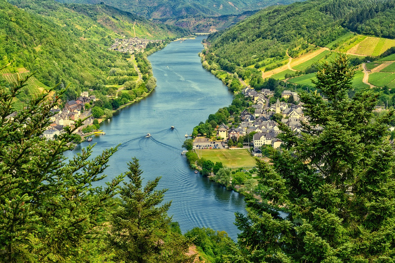
Image Credit: River nature mosel view vineyards by Tama66 via Pixabay.
Finding Depth in a Vast Field
When you first dive into a career in Geographic Information Systems (GIS), it can feel overwhelming — an ocean of knowledge with just an inch of depth. It’s a saying I heard often during my undergraduate studies, and I think it captures the feeling perfectly.
I began unexpectedly — as a GIS instructor for the local Esri distributor back home in Caracas. It wasn’t part of my original plan. In fact, I had no plan at all. It developed naturally from my curiosity to help others not only use the basics of the software but also understand fundamental principles of geographic analysis.
But looking back through this fast-moving, interdisciplinary world, the first question I should have asked is simple:
Where exactly do I fit in?
GIS isn’t a single, fixed job description. It’s a dynamic ecosystem that overlaps with data science, remote sensing, design, and strategic management. From traditional cartography to GeoAI, job titles change constantly — but behind them lies a deeper story: one of perspective, maturity, and scope.
Remember the Old Days?
People from geography, environmental science, urban planning, and geology backgrounds were naturally drawn to maps — and, by extension, to GIS.
But before today’s streamlined platforms like ArcGIS Enterprise and ArcGIS Online, we worked with legacy systems such as ArcIMS and ArcSDE to build our maps.
Those systems demanded a rare blend of skills: configuring spatial databases, setting up map services, writing spatial SQL queries, and scripting just to keep workflows running — often beyond our core technical comfort zones.
That era shaped a generation of GIS professionals who were part software engineer, part database architect, and part spatial thinker. They built the foundation for today’s interdisciplinary ecosystem, where technical depth, system design, and strategic insight coexist within a single professional identity.
Three Stages of Perspective
A GIS career is an evolving map. Mine unfolded through stages — each representing a new layer of value added to decision-making.
Let me break it down for you.
1. The Technician — mastering the details
This is the essential foundation of spatial work.
Tasks like digitizing features, performing topology checks, maintaining coordinate integrity, and documenting metadata may seem repetitive, but they form the discipline that sustains every future analysis.
Technicians ensure accuracy and reliability. They build the system’s integrity.
In remote sensing, this extends to georeferencing, mosaicking, and radiometric balancing — the invisible groundwork that makes imagery meaningful.
Technicians aren’t at the bottom of the hierarchy. They’re its backbone.
2. The Analyst — from data to insight
A natural evolution arrives when you start interpreting instead of merely managing.
Technical mastery meets geographic reasoning when questions shift from how to process data to why spatial patterns matter.
Analysts combine spatial SQL, geoprocessing models, geostatistics, and data visualization to translate complexity into actionable insight.
They turn layers into narratives — stories that inform policy, planning, and innovation.
A quick detour — specialization is natural
GIS isn’t one path; it’s a constellation.
Take LiDAR processing: a universe of point-cloud classification, DEM/DSM generation, and 3D surface modeling.
My own experience with LiDAR is limited, and that’s the point — no single professional can master every corner of GIS.
Your value lies in knowing where your expertise creates the most impact, while staying fluent enough to collaborate across specialties.
3. The Manager — expanding the strategic view
Leadership in GIS doesn’t mean leaving the technical world behind — it means zooming out.
In my last role, I leveraged GIS to achieve business goals by asking different questions:
- How does GIS integrate with organizational strategy?
- Which processes should adopt spatial workflows to create measurable value?
- What metrics prove GIS impact to decision-makers?
At this level, the lens widens from systems to strategy.
Managers see GIS as organizational architecture — connecting people, data, and vision.
Their focus turns to governance, enterprise integration (ERP, CRM, BI), mentoring, and advocating for resources so spatial insight guides every decision.
Finding Your Own “Where”
GIS careers evolve through human-centered growth.
It’s not just about learning software; it’s about maturing in perspective — shifting from accuracy to meaning, and from meaning to strategy.
Each stage expands your radius of influence and reveals a wider map of purpose.
Closing Reflection
GIS is more than a collection of roles. It’s a living discipline that evolves as fast as the world it helps us understand.
Whether you choose to specialize deeply or lead strategically, your greatest strength lies in viewing GIS not just as a set of tools, but as a framework for spatial thinking and intentional design.
Because GIS isn’t only about mapping where things are — it’s about understanding relationships, designing smarter systems, and envisioning where your expertise can take you next.
If you’re ready to align your GIS skills with your next career move, book a GIS Clarity Session.
Together, we’ll uncover where you stand today, where you’re heading, and how to translate your experience into a strategy that scales with you. Book a Complimentary Exploratory Call
🧭 Continue Reading