Image Credit: AI Generated by Irina Rodriguez.
The Empty Portfolio Paradox
Here is a scenario I see constantly. I am often sitting across from a professional with over 15 years of experience. They have managed national databases, migrated massive datasets to the cloud, and supported multi-million dollar infrastructure decisions.
However, when I ask to see their portfolio, they hesitate.
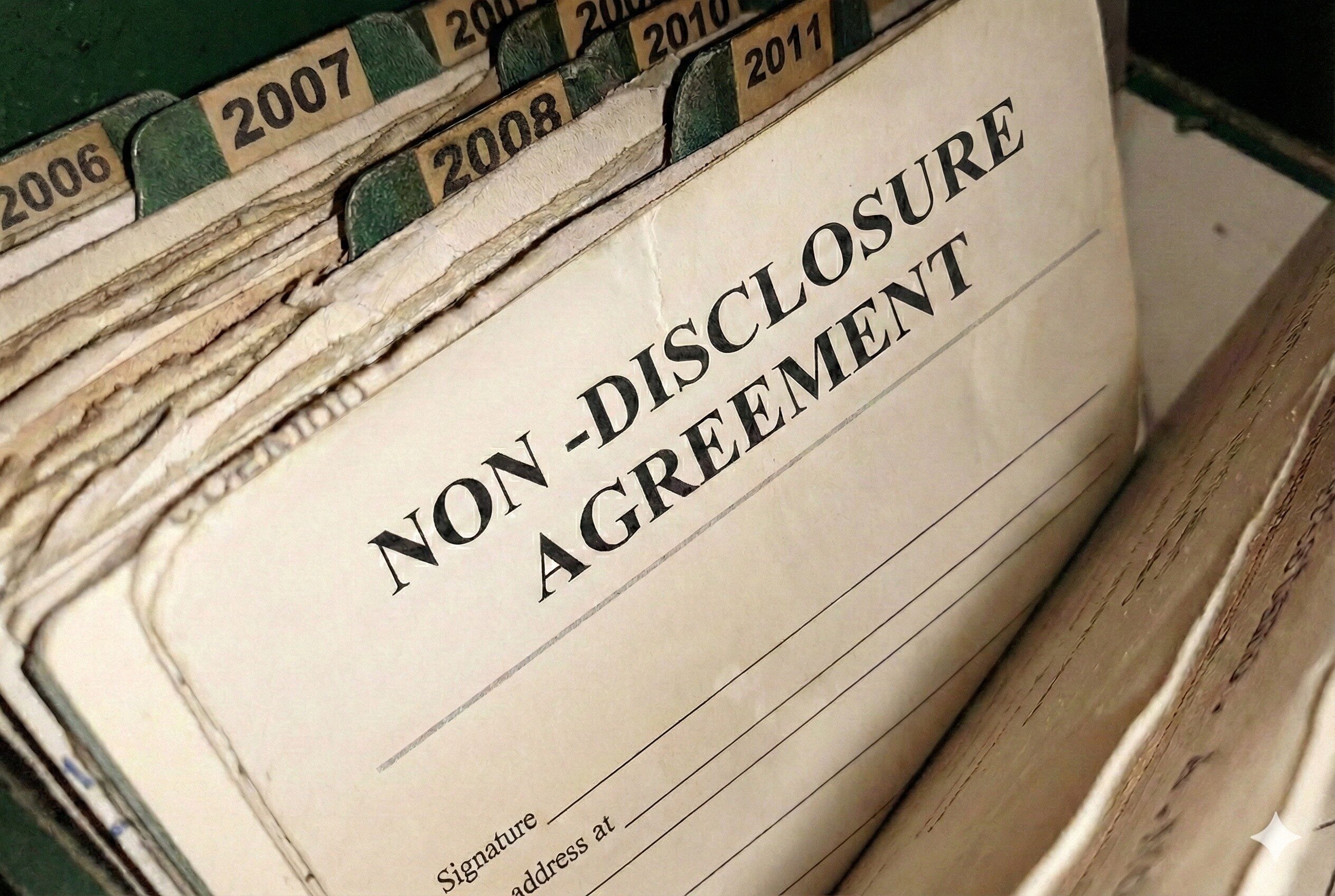
“I can’t show you,” they say. “It’s all internal. Furthermore, it is strictly confidential and under NDA.”
In an industry obsessed with visual outputs—such as dashboards, StoryMaps, and shiny apps—the Senior GIS professional often looks invisible on paper.
Consequently, this creates the “Senior Paradox”: The higher you climb, the less “public” your work often becomes. Strategic work lives in boardrooms and secure servers, not on public URLs.
Unfortunately, if you aren’t careful, this makes you look like a beginner, even when you are an expert navigating the evolving landscape of GIS roles.
You Are Showcasing the Wrong Thing
The mistake lies in believing that a GIS portfolio must be a gallery of maps.
For instance, if you are a technician, yes, show me the map. Prove that you can use the software. Conversely, if you are a Strategic Partner, I don’t need to see the map. Instead, I need to see the Methodology.
- A map demonstrates you can follow instructions.
- On the other hand, a methodology shows me you can solve problems.
Therefore, when your work is invisible, your Narrative must become visible. This is a necessary step in repositioning for intentional design, moving you from technician to architect.
From “Visual Gallery” to “Case Study Repository”
How do you prove your value when you can’t share the data? You must shift from visual proof to intellectual proof. Here are three ways to do that.
1. Visualize the Workflow, Not the Geography
You cannot show the pipeline route? That is fine. Instead, show me the Decision Tree you built to select that route. Create a schematic diagram that removes the sensitive “Where” but highlights the strategic “How.”
You might say: “I can’t show you the client’s assets. However, here is the topology rule set I designed that reduced their error rate by 40%.”
2. Focus on the “Before” and “After”
Strategic value is measured in change. Thus, you should structure your wins clearly:
- Before: “Data was siloed in three departments, causing a 48-hour delay in reporting.”
- The Intervention: “I implemented a centralized PostGIS architecture.”
- After: “Consequently, reporting became real-time, saving the company $X annually.”
You don’t need a screenshot to tell that story. Rather, you need a clear, quantified narrative.
3. Curate the “Soft” Skills
The most complex GIS problems are rarely technical; they are human. In fact, your portfolio should highlight how you handled non-technical challenges. This is about bridging the technical gap [Link to Article 3]—showing you can translate complex constraints to non-technical stakeholders.
Focus on:
- Translating technical constraints to non-technical stakeholders.
- Managing vendor expectations.
- Training cross-functional teams.
These are the assets of a Leader. Moreover, they are never under NDA.
The Strategic Takeaway
Do not let confidentiality be an excuse for obscurity.
Ultimately, the ability to articulate a complex process without revealing sensitive data is, in itself, a proof of seniority. It shows discretion, abstraction, and strategic communication. Your invisible work is not “lost.” It is just waiting for you to translate it.
Is your best work trapped in your head?
If you have 10+ years of experience but feel like your CV and portfolio don’t reflect your true level of seniority, you are likely suffering from a Narrative Gap.
In the GIS Clarity Session, we specialize in “mining” invisible work. We extract the methodologies, the wins, and the strategic value from your confidential projects and package them into a narrative that positions you as an Authority.
Let’s make your experience visible again.
🧭 Continue Reading: