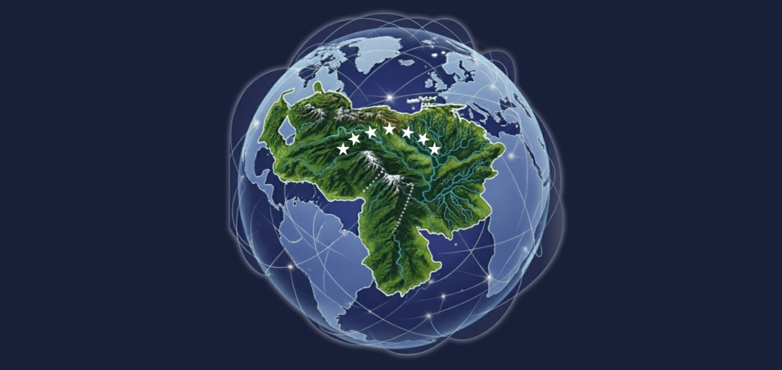
Image Credit: World Wide Web by Gerd Altmann. Image via Pixabay.
I remember, early in my undergraduate studies in Geography, learning the basic definition of GIS as a set of tools. Back then, the conversation revolved around data collection, data entry, and mapping with an environmental or investigative focus.
The bibliographic material available twenty years ago at my alma mater was mostly conceptual (especially in the elective course I took) which initially led me to see myself strictly as a GIS technician.
Later, during my first job at ESRI Venezuela, I was trained to be a GIS Instructor. That experience revealed a much more integrated concept: GIS as a system that brings together data, users, hardware, software, and methods. Suddenly, GIS made sense not just as a toolbox, but as a structure for spatial analysis.
I also worked with licensing management and had the opportunity to contribute to projects that shaped my understanding of geospatial workflows:
- migrating CAD cadastral records to geodatabases for a subsidiary of Venezuela’s state-owned oil and gas company,
- developing the official web mapping application for a model municipality in Caracas,
- representing both a global high-resolution satellite imagery provider and a US-based portfolio of geospatial technologies.
Those years helped me understand the power of GIS Developers supporting institutions with customized spatial data repositories, and how remote sensing enriches the content in those repositories. Integrating precise ground-based surveying inputs gave me a complete view of the geospatial value chain and how interconnected these technologies really are.
Back to Basics
GIS stands for Geographic Information System, and today it includes a broad and evolving family of technologies designed to store, manage, analyze, and distribute spatial data.
Its origins trace back to the 1960s, when Dr. Roger F. Tomlinson, considered the “father of GIS”, developed the first operational system for Canada’s land inventory program, drastically reducing cost and time.
In 1969, Jack and Laura Dangermond founded ESRI, first as a land-use consulting firm, then as a global leader in GIS. The evolution continued:
- 1980s → ARC/INFO brings GIS from research labs into applied markets
- 1990s → ArcView expands accessibility
- 2000s → ArcGIS becomes a comprehensive platform
- 2012 → ArcGIS Online ushers in web-based, scalable GIS
This ecosystem now supports advanced analysis, collaboration, and global knowledge exchange.
Spatial Data Challenges and Discoveries
During my Master’s in GIS Management at UNIGIS, I expanded my view through Spanish case studies rooted in SDI (Spatial Data Infrastructure), a framework of policies and agreements that ensures geographic data can be shared efficiently.
Coming back home, however, I faced very different realities:
- Public administration without open spatial data → agencies working in silos, duplicating datasets, and producing inconsistent outputs.
- Technical work without GIS fundamentals → I monitored agricultural road repairs using Excel and PowerPoint; centralized indicators were nearly impossible in a culture that preferred stylized maps over reliable data.
- Where GIS actually thrives → In academia and research, where I applied methodologies for spatio-temporal assessments and used Voronoi diagrams to define influence zones—my first encounter with geometric modeling.
That work reminded me of my early GIS analyst days, geoprocessing environmental impact study data. Years later, I joined a regional remote sensing expert network using machine learning and Google Earth Engine to create annual land cover time series for the Amazon Forest. That experience reconfirmed GIS as a powerful scientific tool.
Next Level
These days, my main focus is ArcGIS Online, a digital backbone for hosting customized GIS content. Whether as ESRI-hosted SaaS or private deployments, the idea is the same: structured access to apps, maps, and data.
My setup is intentionally small: an ArcGIS Online organization with three licensed members: me, myself, and I.
With it, I’m building a portfolio of GeoApps that reflect geographic thinking, storytelling, and design. A space where creativity meets spatial intelligence.
From My Lens
GIS is not just about maps or databases. It is an evolving ecosystem where history, technology, and creativity converge. For me, it has always been about connecting the pieces, understanding the past, applying it in the present, and preparing for what’s next.
If you want to explore how GIS can bring clarity and innovation to your projects, you can book a GIS Clarity Session.
👀Would you like to see how these milestones shaped my own path?
Explore my StoryMap: From Local Roots to Global Geospatial Impact.